Customize Consent Preferences

We use cookies to help you navigate efficiently and perform certain functions. You will find detailed information about all cookies under each consent category below.

The cookies that are categorized as "Necessary" are stored on your browser as they are essential for enabling the basic functionalities of the site. ... 

Always Active

Necessary cookies are required to enable the basic features of this site, such as providing secure log-in or adjusting your consent preferences. These cookies do not store any personally identifiable data.

No cookies to display.

Functional cookies help perform certain functionalities like sharing the content of the website on social media platforms, collecting feedback, and other third-party features.

No cookies to display.

Analytical cookies are used to understand how visitors interact with the website. These cookies help provide information on metrics such as the number of visitors, bounce rate, traffic source, etc.

No cookies to display.

Performance cookies are used to understand and analyze the key performance indexes of the website which helps in delivering a better user experience for the visitors.

No cookies to display.

Advertisement cookies are used to provide visitors with customized advertisements based on the pages you visited previously and to analyze the effectiveness of the ad campaigns.

No cookies to display.

Written by admin

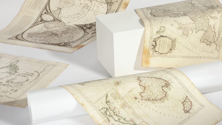
Cartographic collection: illuminated engravings from the 18th century

It is not an exaggeration to affirm that geopolitical maps translate the mental maps of a certain society, of a certain historical moment. Cartography condenses an image of the world that goes far beyond mere topographic studies.

If we look at the cartography of the enlightened period, we will observe that the rise of scholarship in all fields of knowledge and the emergence of scientific institutions in the modern sense of the term will greatly affect the making of maps. In the first place, because the French kings (in collaboration with the Spanish crown and other European powers) will promote expeditions to the new world in order to reconfigure the maps from astronomical observations and physical measurements.